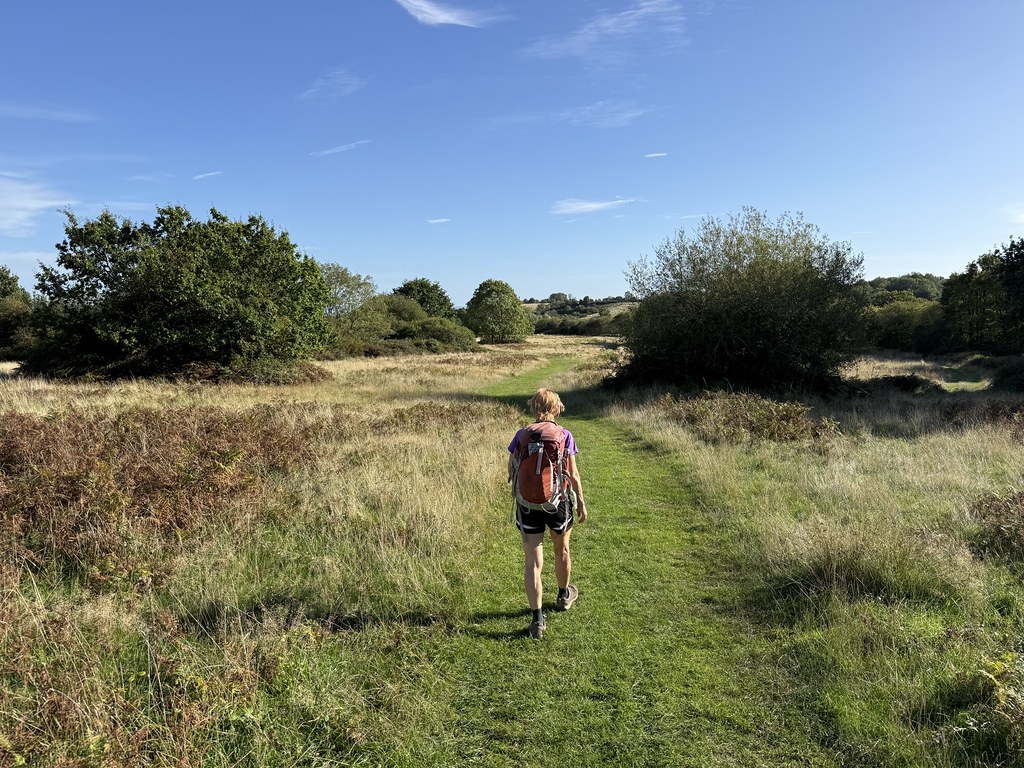
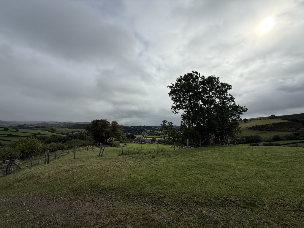
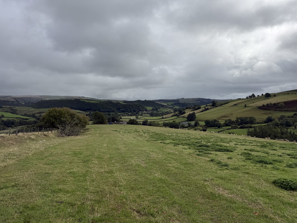
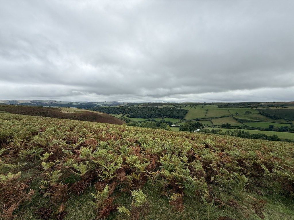
One of the reasons for the recent blog silence is that I’ve changed jobs and as I have to work away from home for a couple of days, blogging time has been at a premium.
Between the two jobs I had a few days off and one of the days had a cracking forecast so I needed to take advantage of that. So up early and off to mid Wales for a day out in the Arans.
The weather didn’t let me down with clear blue skies and the last remnants of a cloud inversion as I set off. Only downside to this was the first half mile through deep grass soaked in dew leading to wet feet before I was anywhere near the boggy bits.
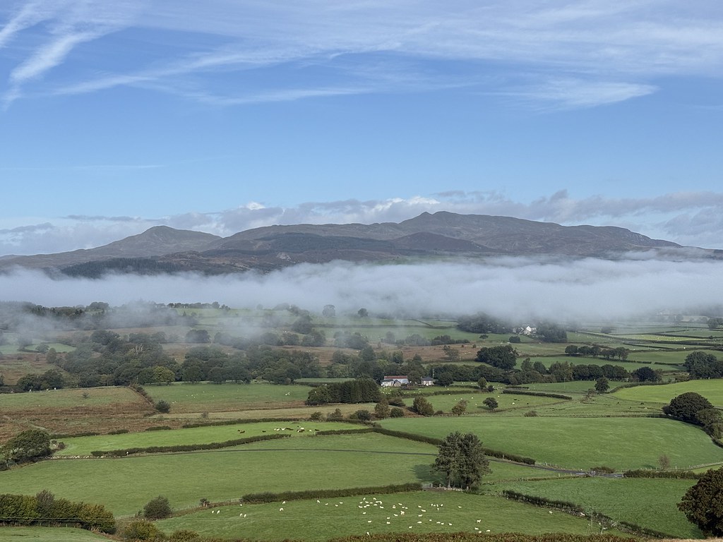
Great views across to the Arenigs as I started the climb.
The Arans along with Cadair Idris are the nearest rocky mountains to where I live and its been a while since I did this route, possibly as far back as the Eighties.
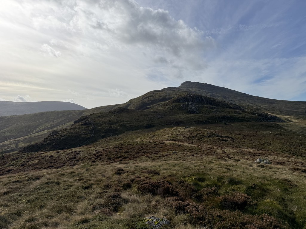
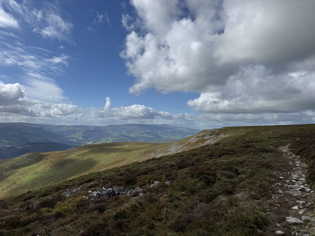
The lower part of the ridge is grass and heather before the rockier section higher up
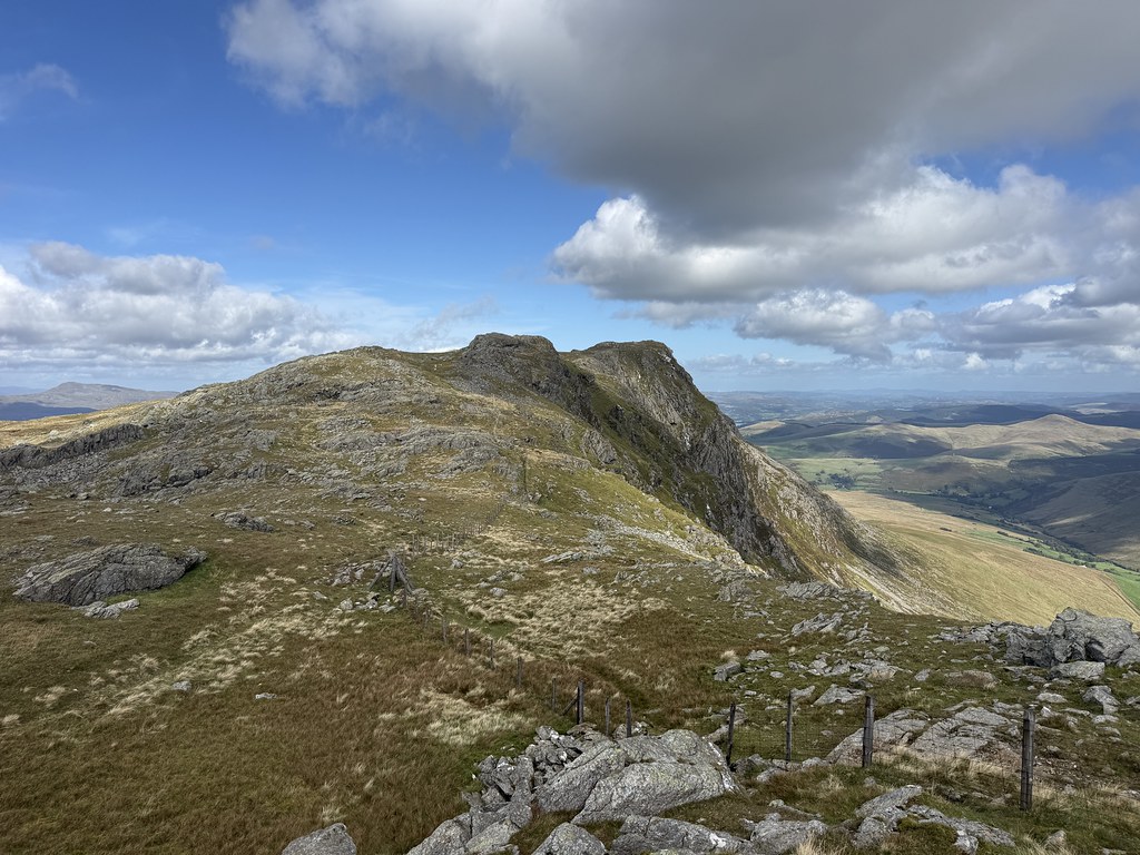
Looking north to the rockier part of the ridge.
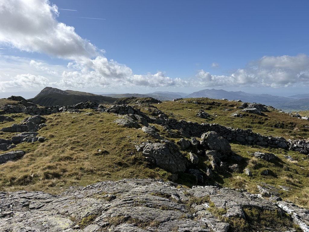
Looking out west to Ddualt and Rhobell Fawr
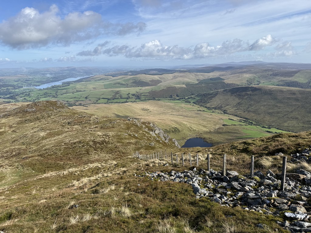
A glimpse of the small tarn of Llyn Lwmbren, well hidden from view for most of the walk.
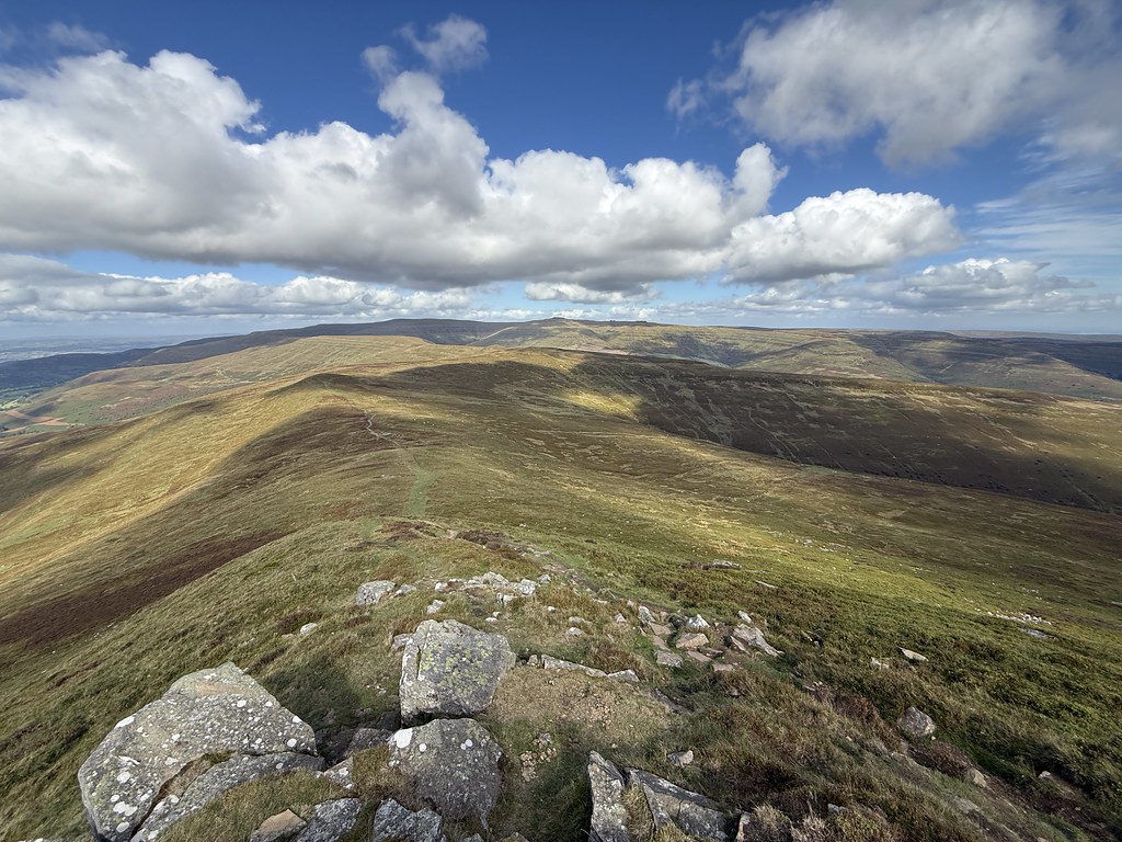
Its quite a long ridge with a succession of grassy, heathery tops and hollows before the fnial steep section onto the crest of the ridge.
You suddenly emerge onto this shelf with a view along the ridge.
And then the full magnificence of the rocky east face of the Arans is revealed.
There are a couple of small tarns up on the summit ridge that make great foregrounds for photos.
And finally arriving on the first of two main Arans summits, Aran Benllyn, the one named after a well known brand of cough medicine.
It was surprisingly chilly on the summit and I had to scout around to find a spot out of the wind for first lunch
Worth the effort as its a superb spot for a stop.
The summits of the Rhinogs now visible in the distance.
Still summits to bag so I headed off south on my quest. Looking back to Aran Benllyn.
I came across this cairn, un-named on the map and dropped my sack so I could head out and back to Aran Fawddwy, lighter on feet. Its quite a way out.
It was well worth the effort as the viewes were magnificent.
Always like a trig point photo.
Looking out towards my next objectives.
Looking along the ridge to a distant Cadair Idris.
I returned to the the cairn to pick up my pack and continue.
The Arans are pretty well defended by cliffs on the eastern face but there is a very broad, and very steep, grassy shoulder that easily takes you down to Creiglyn Dyfi.
My route was to pick up some missing Nuttalls on the eastern side of the stunning Cwm Croes.
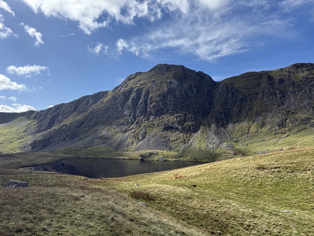
From near the lake the view to the crags of Aran Fawddwy is breathtaking. A stunning spot.
Looking back to my steep grassy shoulder to reach the col.
From here the terrain becomes tougher with rocky ridges replaced by thick vegetation, tussocks and limited paths.
Magnificent view ease the burden of the tougher walking conditions.
A new summit bagged, Foel Hafod Fynydd with a view to my next one, Esgeiriau Gwynion.
The descent and re-ascent between the two summits was hard work with no path down and while there was a path on the upward stretch it was brutally steep and seemed never ending.
A well earned second lunch after that and fabulous views back over my ascent route from the morning.
The route down from here was seriously hard work with huge tussocks and nothing in the way of paths. I guess these hills don’t see many visitors.
I did pick off another Nuttall, Foel Rhudd but to say it was uninspiring is something of an understatement!
I managed to bash my way down to the point where the farmland abuts the open fell
There wasn’t a right of way back down to the road but there were paths marked so I followed the route through the fields.
It turned about to be a really easy stroll and all the fields had open gates.
It was only when I walked through the last gate onto the road that I saw a “Private, No Access” sign but too late by then. There was an option to follow some rights of way back to the car but it looked hard to follow and tussocky in places so I just walked the couple of miles down the road which turned out to be rather nice with some great views.
A fabulous if rather long day of 14 miles and well over 4000 feet of ascent (and 2.5 hours in the car each way). Despite the Arans being well known and it being a full sunny day, I didn’t see a single person while I was out. The benefits of walking on a working day.
First up some pictures from home from the previous evening.
A stunning full rainbow over the garden shed.
And some orange sky glow behind the telegraph pole.
Back to the walk and I picked a route we haven’t done for a couple of years. A round of the westernmost of the range. Sugar Loaf showing its pointy side on the steep climb to Table Mountain.
Crug Mawr across the valley.
The Beacons from Table Mountain.
The slopes of Pen Cerrig Calch from Table Mountain, our next objective.
Table Mountain.
We met some walkers clearly on some kind of charity event on this stretch. They looked woefully ill equipped for walking what is the most remote of the Black Mountains ridges (although to be fair that’s relative as nothing in the Black Mountains is very remote in truth) carrying almost nothing between them, water bottles carried in hands. One of the party had clearly fallen and had blood from a facial wound being held back by a piece of cloth. She looked badly shaken but they obviously didn’t have a First Aid Kit to deal with it properly. I always carry one and offered to help but they declined, pretty much ignoring me and my offer to assist.
We moved on to the summit (spotting the blood on the rocks) of Pen Cerrig Calch, the only outcrop of limestone in the Black Mountains.
We scouted out a spot for first lunch and found a grassy spot just below the summit.
There was an autumnal feel to the day. Warm when the sun was out, decidedly chilly when it wasn’t.
Referring back to the title of the post. When we’ve done this walk before, we’ve always followed the main path onwards to Pen Allt Mawr on the eastern flanks. My OS Map showed a path along the western edge that I’ve always been keen to try so today was the day to explore.
Looking back to Pen Cerrig Calch.
The path reaches a quite significant collection of cairns where it turns sharply right back towards Pen Allt Mawr.
Revealing this superb view across to Mynydd Llangorse and Mynydd Troed.
And further round to the Beacons.
Added bonus of this Mushroom that looked like someone had painted it gold. The photo doesn’t do justice to how striking the gold colour was.
Its a fantastic path and one I’m rather surprised I’ve not bothered with before. The Black Mountains ridges are broad and flat so sometimes the views can be a bit restricted. This edge gives some of the best, if not the best, views in the range.
A close up of Mynydd Troed which as regular readers know holds a special place in my heart. Its quite a striking isolated mountain in a range dominated by long broad ridges.
Pen Allt Mawr is also quite a prominent viewpoint at the end of the broad plateau with more striking views out to the main high summits of the range.
And a great spot to admire the full sweep of the view out to the west.
A steep descent and a good feel for the pointy aspect of Pen Allt Mawr.
Looking back to both of our peaks of the day.
To complete the circuit a sharp right turn at Pen Twyn Glas for an easy and very pleasant amble along the ridge of Tal Trwynau with the Sugar Loaf holding the gaze.
There is a collection of old quarries at the end of the ridge where we always make time for another stop and a cuppa before dropping down to the road to follow it back to Llanbedr.
One of the best routes in the Black Mountains and one I should do more often.
A change of scene from walking in the Welsh mountains.
With a forecast of gloomy skies and drizzle for the mountains and better further east it was time to head to the Malverns.
The Malverns have a whole range of paths that run along the tops and the slopes and over the past few years we’ve managed to put togteher some excellent routes. This was a variation on the southern Malverns, starting off at Chase End Hill the smallest and most southerly of the many hills.
We’d hoped for some sunny intervals but it turned out to be a gorgeous early autumn afternoon. After Chase End Hill is the very steep climb to Ragged Stone Hill.
A fine view of a sunlit Eastnor Castle.
And the main central ridge of the Malverns in the distance.
The Severn Valley and Vale of Evesham.
The Eastnor Obelisk, built to commemorate the family that built Eastnor castle.
What the Malvern’s lack in altitude they more than make up for with climbs. Next on the list is Midsummer Hill. A full end to end walk is a real challenge and even though the highest point is only about 1500 feet you can clock up well 3500 feet of ascent.
A parasol mushroom. I looked it up online to confirm what I thought, that they were edible. However the description also added “it resembles some toxic species”. I’ll stick to shop bought mushrooms.
We foumd a lovely spot on Midsummer Hill for first lunch.
Looking back south to our first couple of summits.
Onwards to the next summits of Swinyard Hill and Hangmans Hill.
Cracking views out of the Severn Valley and Vale of Evesham again.
And the main summits of the ridge getting ever closer.
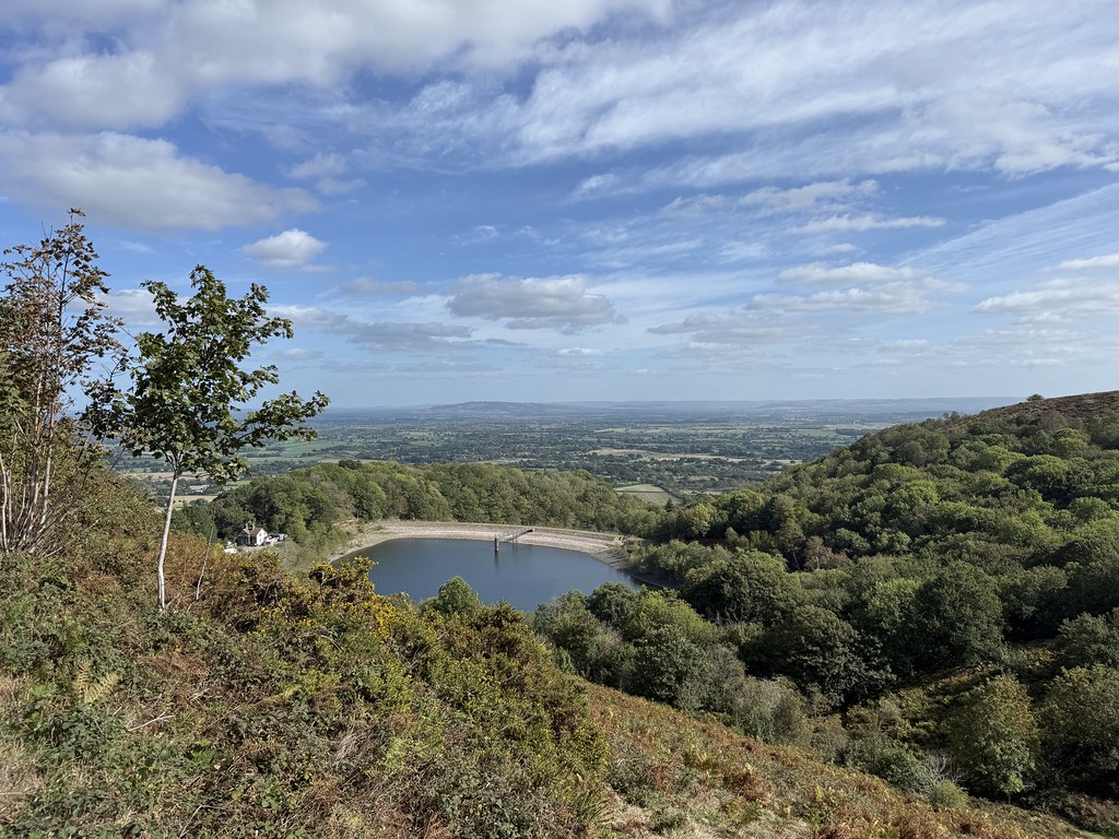
British Camp Reservoir.
We skirted under our main objective for the day, Herefordshire Beacon on one of the excellent paths that traverse across the eastern face of the hills to return over the top. We noticed the gorse blooming and Internet research indicating that it can flower more than once in the year which I never knew.
The ramparts and ditches of the Iron Age Hill Fort on the Herefordshire Beacon.
I’ve not been up here for ages and the view on the increasingly sunny afternoon were superb.
Looking out to Millenium Hill – never knew this one had a name.
And back to the summit.
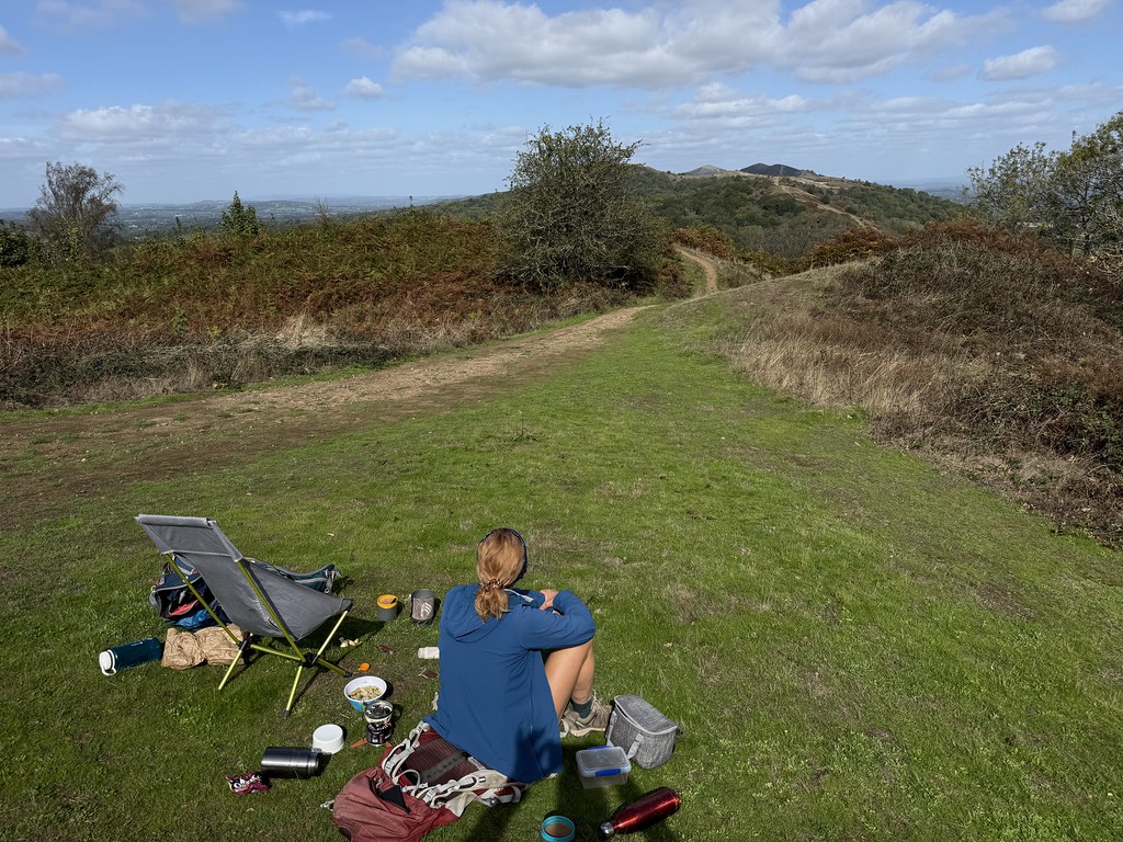
We returned south back the way we’d come and found a nice spot for second lunch or afternoon tea, depending on what you want to call it!
Finishing the day off with a stroll across Hollybed Common.
We hadn’t expected such a stunning and sunny afternoon when we left home under grey skies, a welcome surprise.
Couple of weeks back and TBF was out with her choir so I had a day to myself for a walk.
There is a Marilyn missing from my Hills lists up in the lonely country north west of Knighton so I thought I’d give that a try.
Its not the easiest hill to get to and fashion a circuit or to park but after a good deal of map scouring (both O/S and Google) I found a small parking spot at Lloyney and, with a bit of road yomping, what looked like. decent route. The weather forecast was ok and seeming to indicate a slight improvement as the day wore on so I did the road part first. This is the small church at Llanfair Waterdine.
I crossed the river Teme on this bridge, possibly the most slippery surface I’ve ever come across! The bridge was slightly sloping and treacherous. Every step felt like I was about fall. Type 2 Fun.
To avoid more road walking I had to cross a bonus hill and ridge before the main climb to my objective. This section was enlivened by meeting two gorgeous tiny puppies that came out of a small shed near a farmhouse to say hello. They were extremely friendly and proceeded to try and follow me up the hill until I stepped up the pace so they didn’t follow me too far from home.
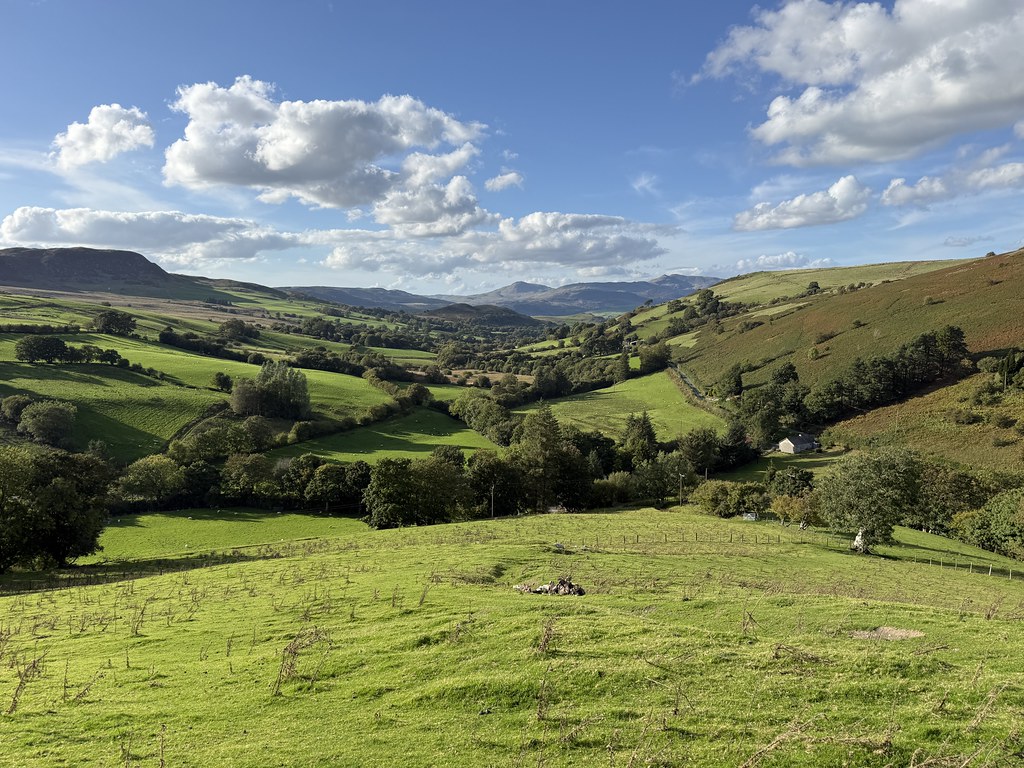
This turned out to be the nicest part of the day with some decent views over the Teme Valley.
I could now see my objective, Beacon Hill in the distance.
I had to drop down through a very nice woodland all the way back to the bottom of the valley before climbing back up again to the main area of open moorland where the summit was.
I’d be lying if I said this was the most exciting area of hills I’ve ever walked but it was pleasant and very quiet.
Looking back to my return route on the skyline.
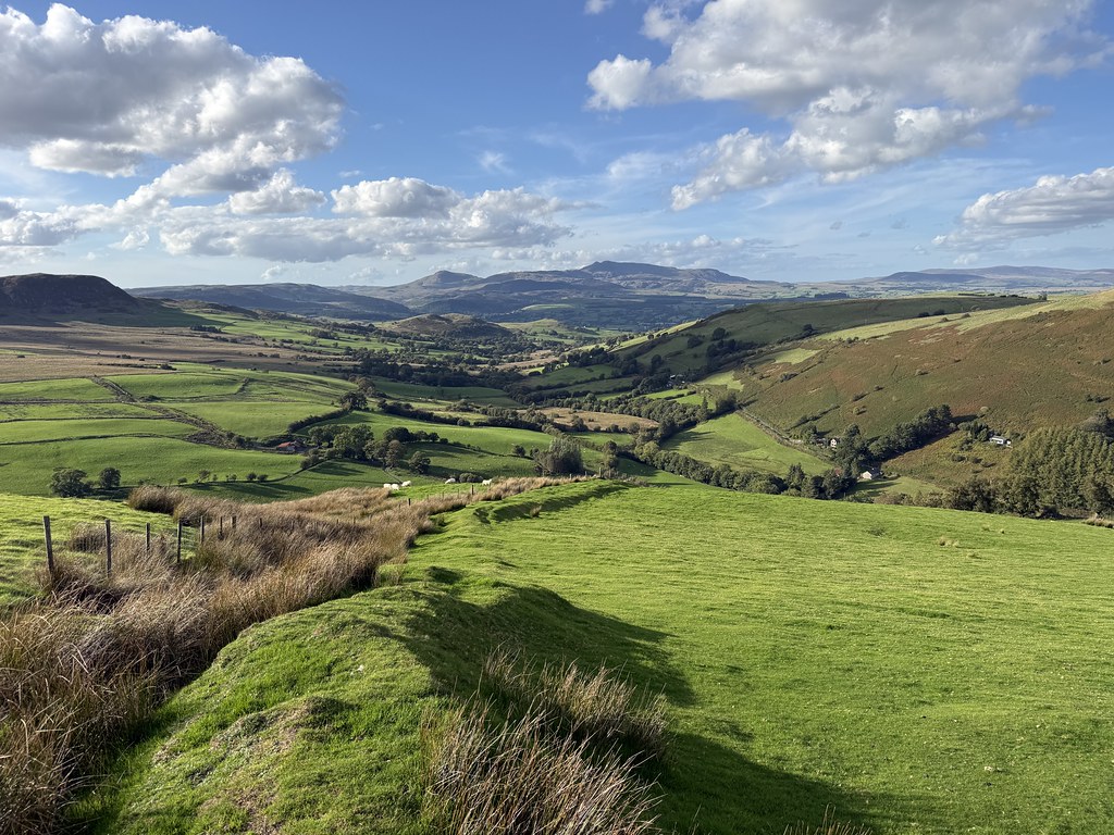
The green fields of mid-Wales.
Despite the promise of the weather improving a little it began to drizzle as I walked towards the summit.
It then continued to drizzle for the next 3 hours alternating between light drizzle and more persistent heavy stuff. I managed to grab lunch sitting on the summit of Beacon Hill in one the less miserable parts of the day.
The return route is along the Heart of Wales Line Trail. Said railway line runs just to the south of this ridge. You could use it to construct a route through here but there are only 4 or 5 trains a day so if you miss one you have a very long wait for the next.
With the drizzle it turned the walk into something of a route march and a bit of a grind to be honest. I should return on a sunny day in spring when I’m sure it would be a nice high level stroll.
I did get lucky right at the end of the ridge on Goytre Hill just before I was heading down to the car. The rain stopped and and there was even some watery sunshine and patches of blue. I managed to find a spot for a second lunch and another brew.
Sadly it was short lived and before I’d finished my tea, the drizzle returned so I packed up and went back to the car. Not the finest day’s walking I’ve ever had but I did manage a new hill to tick off and I had the hills all to myself. I saw no other walkers at all, just the usual group of irritating trail bikers an one very wet looking mountain biker.
Back from France and time for a family weekend. Both TBH and her sister S have birthdays on the same day (not twins btw!) so we had the Profs, S and her partner R and TBF’s Mum over at ours. Bit of a house full but me and TBF slept in the van on the drive to make it all work.
TBF’s mum is approaching 90 this year and whilst still very active and sprightly can’t walk too far so we had an easy weekend planned. As luck would have it the weather was sunny and dry. Saturday we took at day out by the river Wye at Symonds Yat, preceded by a superb breakfast at a small cafe in nearby Whitchurch.
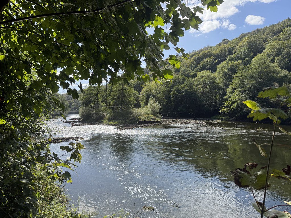
We had a lovely walk along the banks of Wye.
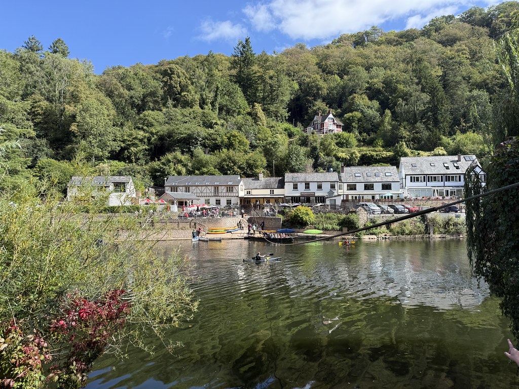
And caught the rope ferry across the river to Symonds Yat East. The Saracens Head pub is very well known and on a sunny Saturday exceedingly busy. It looked like a table outside was a forlorn hope.
I remembered there was some sort of cafe down near the car park. Turns out its quite a large hotel with a splendid beer garden away from the road with lots of empty tables.
We spent a very happy couple of hours sitting and chatting over a couple of pints.
Tearing ourselves away we took a short walk down to watch the kayakers playing in the “rapids”.
Slightly building their part up when the water is this low but I have played about in the kayak here before and it is good fun.
We walked back to the ferry at the Saracens Head.
Its a very short crossing, only takes about 2 minutes but it does give a different perspective as you are pretty much eye level with the water.
A really lovely and easy paced day out with family.
On Sunday we spent a good portion of the first half of the day preparing and eating a massive brunch. After which, restless and needing to work off the excess we went into Hereford for a wander about.
I often have to take the cars/vans into Hereford for tyres and the like and I’ve devised a 1 hour walk to fill the time while they complete the work.
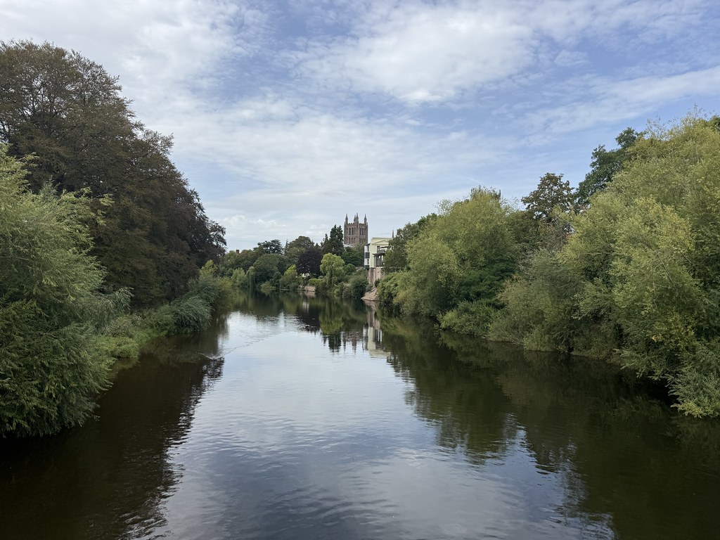
Its a nice loop along both banks of the river, over the bridges and back through the park to the cathedral.
The cathedral looking especially fine on a sunny Sunday.
After the long drives and activity on our summer trip it was ideal to have an nice relaxing weekend with all the family there.
I always like to finish a bunch of posts about a holiday with some sunset pictures.
Seems appropriate somehow.
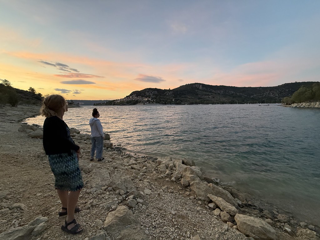
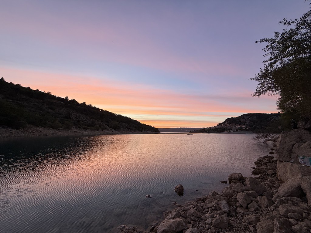
We wandered down to the lake most evenings to watch the sun go down and admire the changing light.
Its a pretty quiet corner of France during the day but in the evening its even more wonderfully serene and peaceful.
This was early in the trip and a few scattered clouds helped to liven up the colours.
The view across the lake to Bauduen from this particular spot was one of my favourites and its probably appeared many times in different guises and times of day on the blog.
A different evening with a wider spread of pinks in the sky reflected off the cirrus clouds.
A particularly calm evening to also reflect the clouds in the surface of the lake.
The night lights of Bauduen begin to twinkle.
We sat on the opposite shore of the lake on this occasion with some dramatic striped cloud patterns.
Probabaly the best sunset skies of the trip.
The small rock island we swam to contrasting against the bright sunset colours.
And the “stripes” perfectly reflected in the water.
We walked around to the other shore, by which time it was pretty dark so we had a much better view of the Bauduen lights.
One final image from my favourite spot while taking a break from packing down ready to head home the next day.
We had an hour to kill in Ouistreham before catching our ferry back to Portsmouth so we took a stroll on a very wild windy beach. Huge contrast to the 30C+ hot weather when we arrived.
Lucky enough to see our ferry sail in to drop its passengers and ready to take us back to the UK.
Sailing out of Ouistreham and heading for home after another fabulous trip to our favourite little corner of France.
A very odd day weather-wise. It looked overcast and almost like you could see drizzly rain in the air but it was hot and humid. My guess was that this was a Saharan dust storm blowing over.
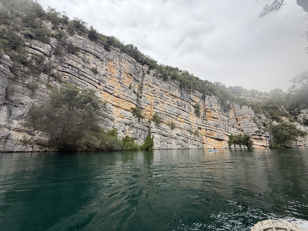
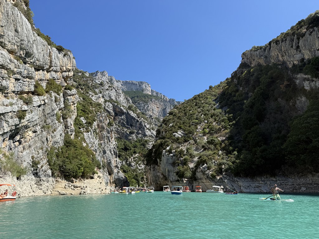
The Gorges de Baudinard is a trip we’ve done many times – a real favourite.
Its normally pretty busy but with a less sunny day and with many people having gone home (summer holidays finish a week earlier than in the UK) it was very quiet. Just a small handful of people this time.
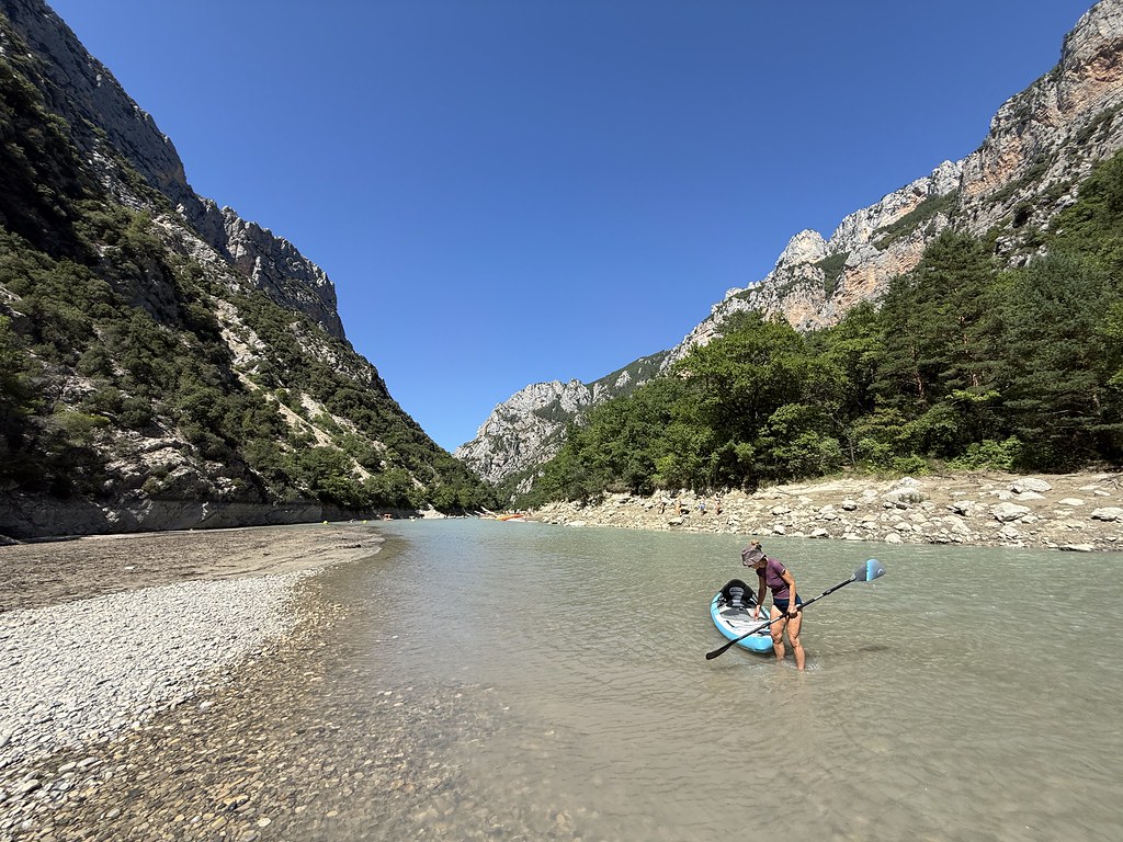
Prof II was feeling a bit off the pace so she took a ride with me in the kayak and TBF paddled the SUP.
I’m not sure why but the water seemed remarkably clear this time, even more so than usual. Maybe due to the fact they hadn’t let much water out of the main lake above.
Whilst the sun wasn’t out it was actually very pleasant to see the place without the usual noise of tens of kayaks and motor boats.
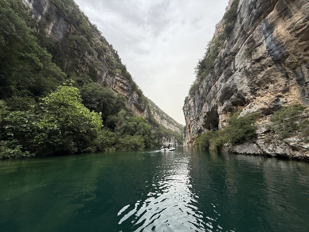
In fact as we approached the end of the gorge we had it pretty much all to ourselves which is unheard of.
It doesn’t have the drama and the massive rock faces of the Verdon Gorge, but in many ways its just as dramatic and prettier and for most of its length, narrower.
This is the narrowest section and as you can see deserted.
If you look back through my blog you’ll see previous posts with a lot more sun and a lot more people.
The water in this gorge is surprisingly cold especially compared to the warm waters of the lake above it. Last year it was cold all the way down to the start. This year it was warm enough to swim at the start but at the far end it was staggeringly cold. You could only put your hands or feet in for a few seconds before the cold really bit down. No way I’d want to take in swim here even on the hottest of days.
The gorge is largely fed by cold water springs. This is one of the small caves where you can see that icy water pouring in.
The walls in this section just drip with cold showers of spring water. In the past I’ve kayaked the kids under those for a giggle but I don’t think their grown up sensibilities would find it funny any more.
The point of no return just below the dam.
Time to turn around and paddle back down the gorge to experience the fun all over again.
Despite the grey clouds it was a very peaceful and easy paddle, followed by a swim at the end before we packed up and headed back to the campsite.
A short video of the trip below:
Overnight rain covered the van and the tent in a layer of red dust, confirming that it was indeed Saharan dust in the air. Just one final post to finish off our summer adventures
The classic Verdon Gorge walk is the Sentier Martel. Both me and TBF have done it and I wanted to try something different. The Sentier Imbut heads into the narrowest part of the gorge that we’ve always wanted to see so that was the plan.
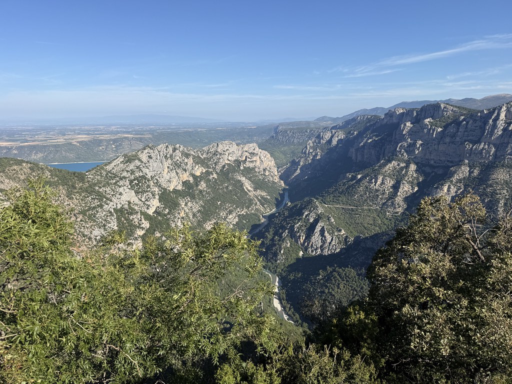
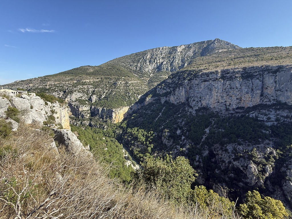
A gorgeous day and we had a quick stop at one of the dizzying overviews on the road that runs along the south side side of the gorge. The stretch you can see below is where we’d been on the kayaks a couple of days earlier.
We parked up near the Auberge des Cavaliers and took a quick wander out to the edge to take a peer into the gorge. Looking downstream.
And upstream.
We set off on the start of the Sentier Imbut heading steeply down into the heart of the gorge.
Its short but steep and you are soon down by the river near the only crossing point between both ends of the gorge, the Passarelle d’Estelier Bridge. This one is new after the original wooden one was washed away about 20 years ago.
Its quite a high and narrow bridge with good views down our planned route through the gorge.
We set off for the walk through the gorge. Looking back to the bridge.
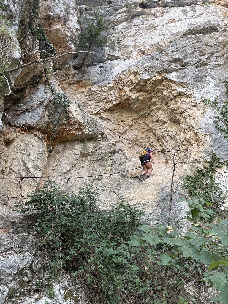
There are several sections where the path climbs steeply up to avoid the sections where a path by the river isn’t feasible. Plenty of passages cut from the rock and ladders.
There are so many wonderful pools for swimming in the gorge. This was the spot I swam in last year so it seemed appropriate to let TBF enjoy it as well.
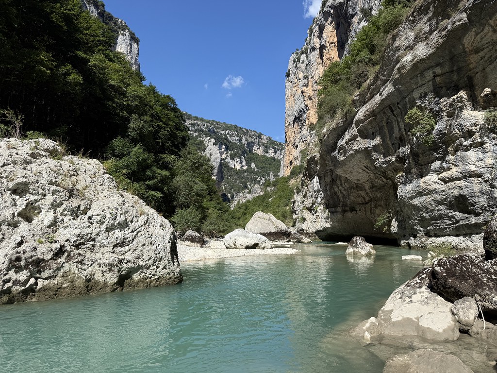
The gorge is narrow at this point with a series of deep pools and rock formations. You get a real sense of being away from everyone in a hidden world.
The water is still quite fast flowing so its quite hard work to swim upstream. Just a beautiful place
I managed to force my through some narrow passages to this point a few meters upstream.
Before floating back down to meet TBF.
We stopped and warmed up in the sun – the water is quite cold down here – and had a second breakfast/first lunch.
We were followed down the gorge most of the way by a group of canyoners and came across them from time to time. Be great fun to do this section in the water as it were. There must be some fabulous spots you can’t see or reach from the path
The big problem with the walk is that there are so many places you want to stop and take a swim but its quite a long walk so you have to press on. You could do this walk many times over and swim in a different place every time.
Remembering to always look upwards to the amazing rock formations of the gorge itself.
I asked TBF to pose for me here. Its actually a much more precarious spot than it looks.
Another of those sections where the path climbs high above the water.
This eroded grooved face of rock really caught my attention.
Its a truly amazing walk that requires a huge vote of thanks to the people that decided they could thread a path through it.
Back down to river level and yet more places that looked inviting for another swim.
We passed all these by as I had my eye on another spot where I hoped we could take a more unusual and exciting dip.
The Verdon narrows to a short section of slot canyon called Le Styx. The gateway to the underworld in Greek mythology.
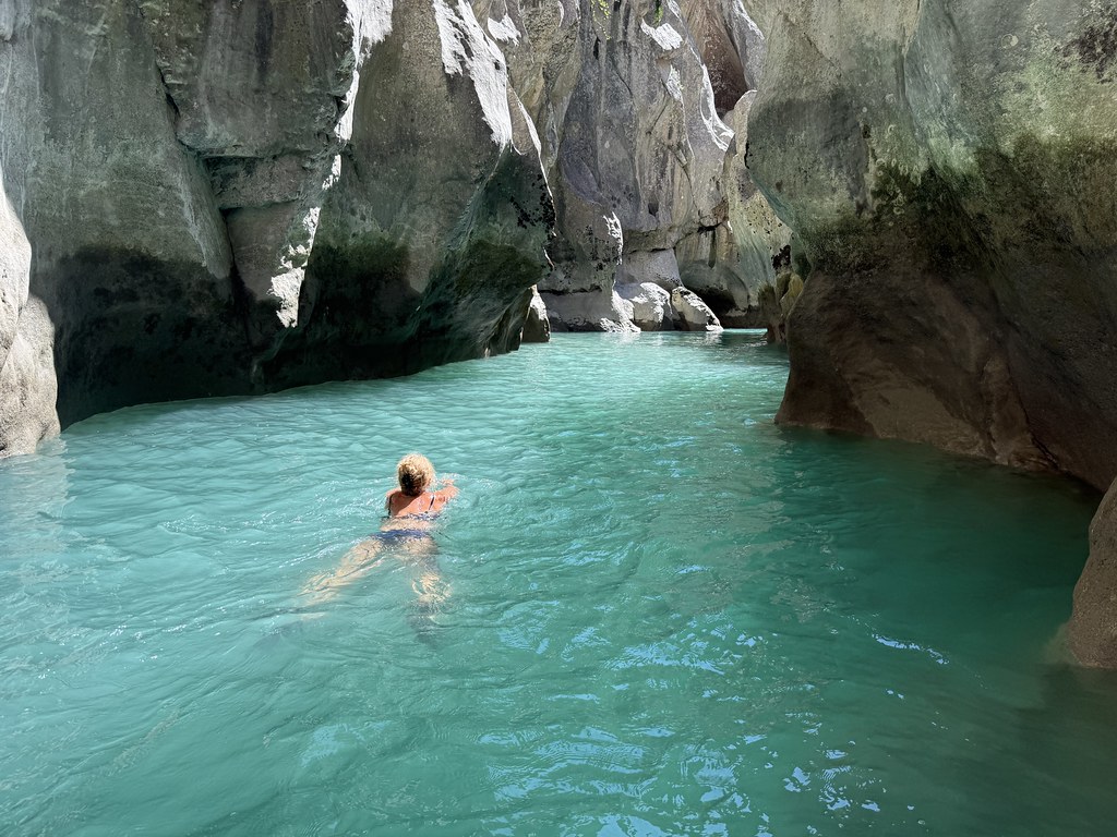
Its a breathtaking spot of carved rock and deep turquoise water.
A bit of scrambling around on the boulders downstream and we found a spot to enter the water.
It was the most amazing swim I think I’ve ever done. We had the place to ourselves for most of the time (until the we saw the canyoners again).
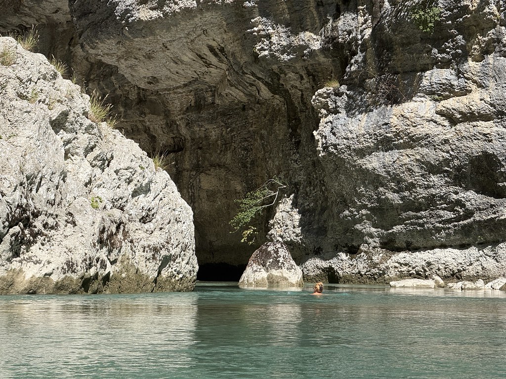
Buried a thousand feet down in the gorge and inside this narrow passage did indeed feel like swimming into another world.
I scrambled up onto some rocks for a different perspective. Took me a time to work out how to get back down again!
Looking back downstream.
I wanted to swim up and through the really narrow section but the flow was just too strong and I’m not that powerful a swimmer. We climbed out and had a our second lunch on the rocks overlooking this spot. Just fabulous. What an adventure.
The path downstream from this point is a series of exposed walkways carved out of the rock face.
Its a sensational section that carries on to the Baou Beni where the Verdon disappears into an impassable rockfall of massive boulders where the path ends. The river then re-appears to flow down the wider section and out into the lake.
We decided not to walk to that part as we’d spent so much time in the water and time was pressing. Another downside of this walk is that what goes down has to go back up. Our route was the Sentier Vidal and its truly spectacular. It climbs out of the gorge at the bottom via series of steep zig zags carved out of the rock. You are advised only to use this route to ascend and its hard not to agree. I certainly would not want to descend this way as a slip would be fatal on this section.
Once past the first part its more just a simple steep climb on paths all the way until you start to emnarege from the depths.
Some fine views back into the gorge as we climbed.
There are a few narrow sections with handrails and ladders but nothing like the sensational bit at the bottom.
TBF on the final ladder.
We emerged into the sunshine at the top.
We could have walked back along the road to the car but chose to climb a little higher into the forest to walk back on a lovely path with some fine views.
On the way back to the campsite we stopped off at another overlook to take in one last view of this magnificent place.
Having done both routes in the gorge I have to say this walk was superior to the Sentier Martel. That walk is amazing but its a long way and as a linear route has a degree of transport considerations to return home. It’s also very well known and very busy although not overly so. This route is a circuit and passes through some of the most amazing scenery and thrilling paths and fabulous swimming holes. Its also much quieter, we saw maybe a dozen people all day and no-one at all after we started to climb out. A walk to remember and one of the highlights of the year.
After such a glorious clear day it was something of a surprise how quickly the wind picked up, the skies darkened and by 7pm we were in the middle of a massive thunderstorm. A short video of the rumbling and light show. Fireworks of a sort to end an amazing day.
After our tree-top adventures we had a plan for the afternoon while we were out and about.
The classic local kayak trip is into the heart of the Verdon Gorge and were keen to make sure we fitted it in this year after not finding the time to do it last year.
Its incredibly popular and I thought perhaps a Saturday afternoon when many people were travelling might be quieter. It wasn’t.
We’ve done this trip many times now so are used to the fact you rarely find it quiet so we just headed off and embraced the crowds.
It was a superb weather day with a deep clear blue sky that sets off the views to perfection.
Passing under the road bridge you head straight into the narrowest section of this stretch of the gorge.
The rocks and cliffs tumble straight down to the water and its a truly spectacular place to be afloat and the only way to see this section up close.
The caves on the far side look like a rather scary – or scared – face!
One of the spots where you can kayak under the overhanging cliffs.
The Cascade Saint Maurin. The water has been flowing less the past few times we’ve visited and in fact it wasn’t flowing at all a couple years back. They have also asked you politely to keep your distance from the fragile Tufa rocks now which people seemed to be respecting.
The water gets shallower as you paddle further into the wider section.
And eventually it becomes too shallow even for the SUP.
We dragged the craft out of the water and went for a walk up river to explore and stretch the legs – kayaking can be hard work on the upper body.
I took a refreshing dip in the cold water before we started to paddle back.
You get a different perspective from the return route.
Being later in the day we’d lost the sun in the gorge by this time which was a relief considering how hot a day it was.
Spooky caves.
Just before we exited the gorge we saw that other craft had gathered and the rescue boat was in attendance. We looked up and saw a guy preparing to dive from I’m guessing about 100 feet up the cliffs. We watched as he put on his performance and it was perfect. He was clearly a professional and everyone applauded his efforts. At least he didn’t have to time it with waves and tide (private joke)
We paddled back out into the lake, took a brief swim and then packed and headed home. A very full on and thoroughly enjoyable day
We love these tree adventure courses and France does them so much better and so much cheaper than in the UK.
This one was just a short drive up the road from the campsite.
TBF and Prof II have done it before but I haven’t (I had a broken toe the last time we visited) so this my first time on the course.
A beautiful clear sunny day and we were there in the morning before it got too hot.
An interesting range of new obstacles to try and as always its enormous fun.
Only downside for me is both my companions are far, far better than me and make those obstacles where I struggle look easy. That shouldn’t really be allowed!
This trapeze style balance had me in all sorts of trouble for example.
There are numerous zip wares around the courses as well which are always great fun as well as a finish on a very big jump off a high platform.
TBF on the climb up the tree for the jump.
And cracking views over the forests and mountains from the highest platforms.
A whole morning’s entertainment followed by a picnic in the forest before moving on to more strenuous activity. A short video to get a better sense of the tree based fun.
I spend alot of my time surfing the web looking for ideas on places to go, walking routes, travel ideas and tips to plan the perfect holiday or day out. (I'm a project manager I like to plan). I thought it was time to share my own experiences and contribute to the vast amounts in information that's already out there.
I'll also add in some gear and tech reviews and when something irks me I may even use this forum to have a rant - I do that pretty well I'm told.There are a few pages at the top that give a bit of background to what I like to get up to and what you can expect to see in my posts. I'm not exactly a creative writer but I hope some people will find my stuff useful or inpsiring or at least enjoy some of my photos.