

-
 95628 Hits
-
 95.51% Score
-
 53 Votes
 Page Type:
|
Mountain/Rock |
|---|---|
 Lat/Lon:
|
45.95000°N / 7.30000°E |
 Elevation:
|
14154 ft / 4314 m |

|
Overview
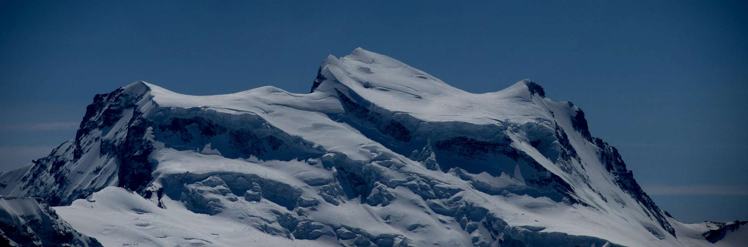
Traduzione in Italiano come da testo Huberschwiller
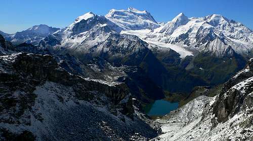
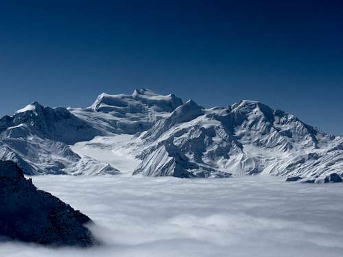
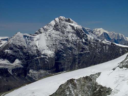
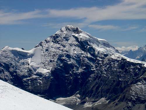
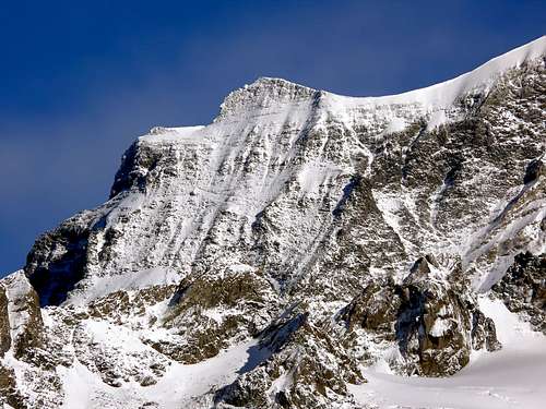
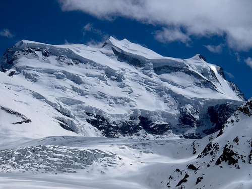
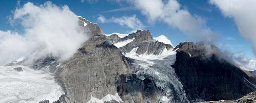
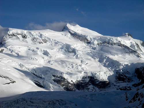
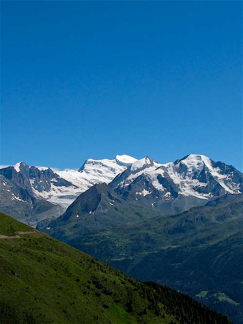
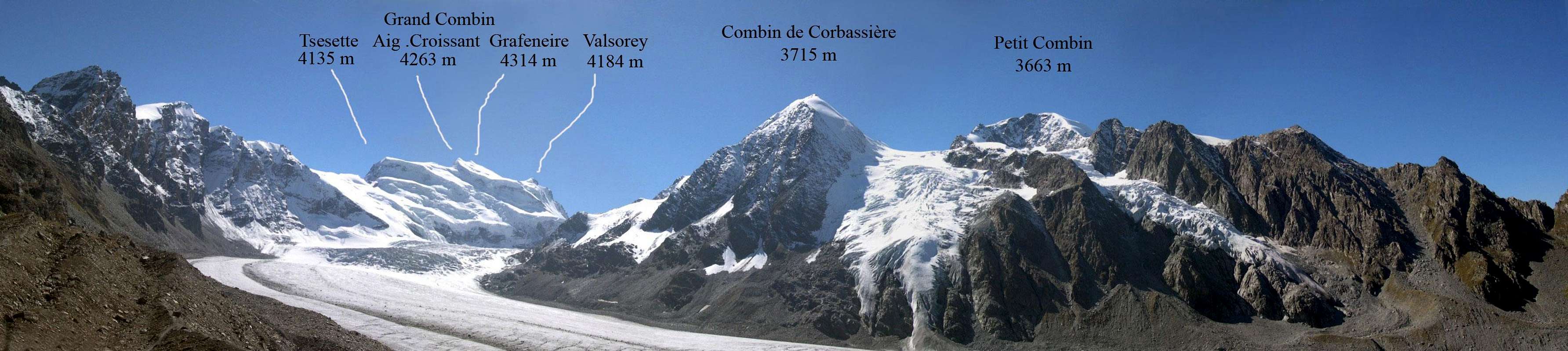
Grand Combin is a huge massif with a real alpine character and four 4.000 meters peaks:
Il Grand Combin è un massiccio imponente dal vero carattere alpino con quattro cime di 4.000 metri:
- Combin de Grafeneire (4.314m), the highest point
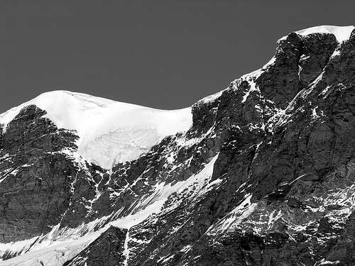
- Combin de Valsorey (4.184m).
- Aiguille du Croissant (4.260m).
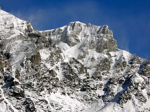
- Combin de la Tsessette (4.141m).
After a long walk to the huts, the way to the summit remains long. No easy route leads to the summit. The easiest, the route of the first summitters through the "Corridor" became too dangerous in the last years and is absolutely not advisable. The normal route today is the NW face. Technically a little more difficult, this route is less exposed to icefall.
Dopo una lunga camminata fino ai rifugi, la strada per la vetta rimane lunga. Nessuna via facile conduce alla vetta. La più facile, la via dei primi scalatori attraverso il "Corridor", è diventata troppo pericolosa negli ultimi anni e non è assolutamente consigliabile. La via normale oggi è la parete NW. Tecnicamente un po' più difficile, questa via è meno esposta alle cascate di ghiaccio.
Photo gallery
 |
 |
 |
 |
 |
 |
 |
 |
 |
 |
 |
 |
 |
 |
Getting There
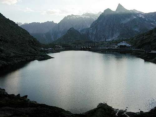
- You can access the Grand Combin massif
- From Val de Bagnes (Fionnay).
- From Val d'Entremont (Bourg Saint Pierre).
- Next airport: Geneva
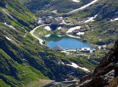
- Next station: Sembrancher Bourg Saint Pierre is on the road Martigny - Aosta at the north entrance of the Grand Saint Bernard tunnel.
- To Fionnay: from the road Martigny - Aosta, turn left at Sembrancher to Val de Bagnes and Fionnay.
 |
 |
 |
 |
 |
 |
 |
- È possibile accedere al massiccio del Grand Combin
- Da Val de Bagnes (Fionnay).
- Da Val d'Entremont (Bourg Saint Pierre).
- Prossimo aeroporto: Ginevra
- Prossima stazione: Sembrancher Bourg Saint Pierre si trova sulla strada Martigny - Aosta all'ingresso nord del tunnel del Gran San Bernardo.
- Per Fionnay: dalla strada Martigny - Aosta, svoltare a sinistra a Sembrancher per Val de Bagnes e Fionnay.
Red Tape
There are no permits required. The only fees one would have to pay are Cabane fees if one chooses to use them. If camping in the wild than a minimum respect for your surroundings goes without saying. Be careful of hunters during hunting season either sit still or duck when you hear gunshots. Any movement deserves to be shot at.
Non sono richiesti permessi. Le uniche tasse che si devono pagare sono le tasse Cabane se si sceglie di usarle. Se si campeggia nella natura selvaggia, un minimo di rispetto per l'ambiente circostante è ovvio. Fai attenzione ai cacciatori durante la stagione di caccia, stai fermo o abbassati quando senti gli spari. Ogni movimento merita di essere colpito.
When To Climb
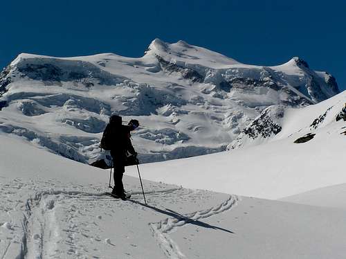
- March-June for the ski touring season.
- July-September for summer alpine routes.
- Da marzo a giugno per la stagione dello sci alpinismo.
- Da luglio a settembre per gli itinerari alpini estivi.
 |
 |
 |
 |
|
 |
Mountain Conditions
- Prévisions météo pour la Suisse
- Previsioni Meteo Aosta Oggi
- Previsioni Meteo Ollomont Oggi
- Meteo in Valle d'Aosta
Routes Overview
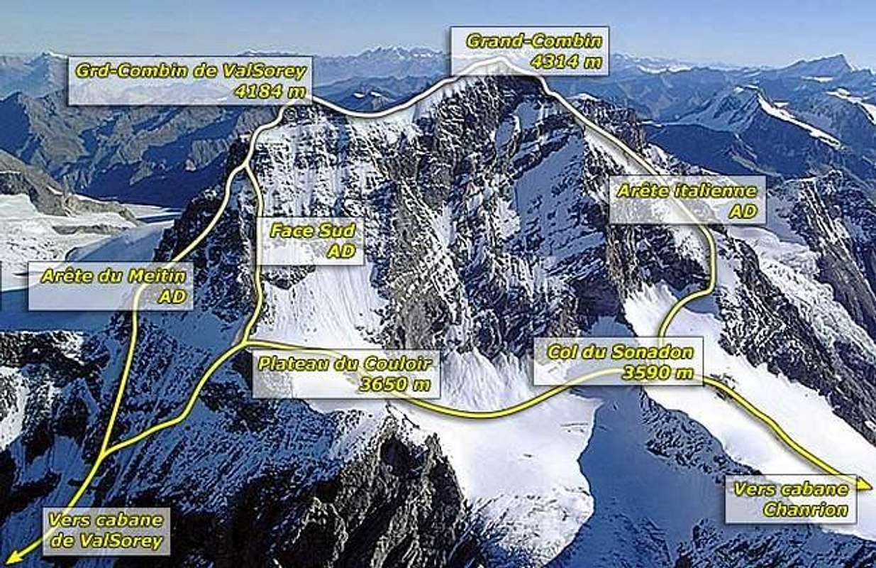
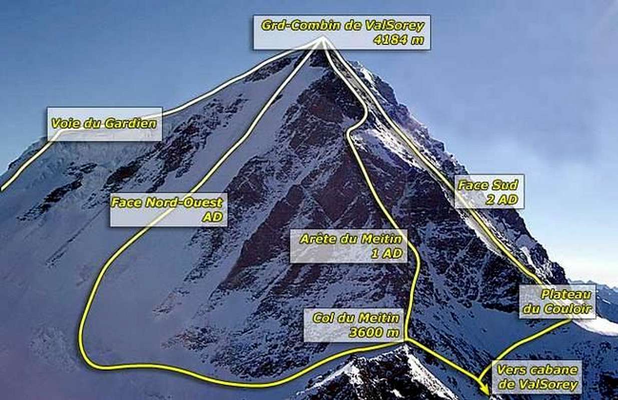
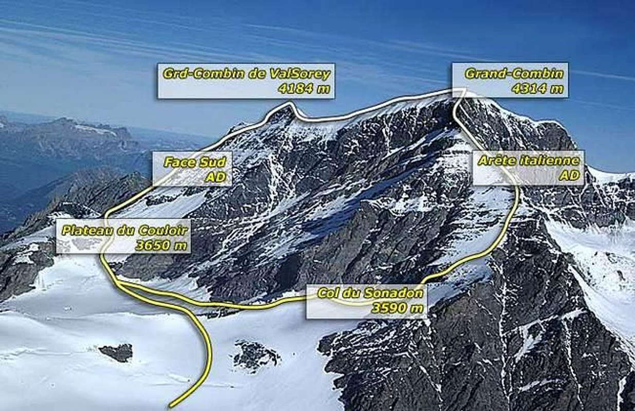
A) The 4 principal routes:
- 1) W ridge of Combin de Valsorey : Meitlin crest.
AD III° 7h'00
7h'00 from Panossière Hut.
5'h00 from Valsorey hut.
The most sure route and the normal route from Valsorey hut. Equipped with 40 insurance points. The route leads to Meitin collar over NW face from Panossière or over S face from Valsorey. The route follows the W ridge to the summit. - 2) NW face of Combin de Grafeneire.
PD 7h'00 from Panossière.
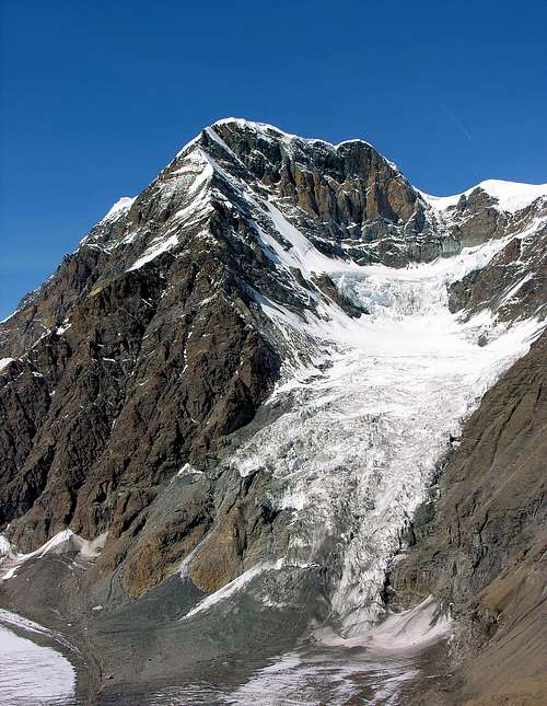
The normal route from Panossière leads over the Plateau des Maisons Blanches, a steep slope of snow or ice and finally over easy snowfields to the summit. - 3) NW face of Combin de Valsorey.
D- III° 8h'00 from Panossière.
Nice and sure ice climb (45° to 60°). - 4) SW face of Combin de Valsorey.
PD II° 5h'00 from Valsorey hut over Biwak Biagio Musso. - B) W- E traverse of all the summits.
D IV° 13'h50 This (very) long route neads excellent conditions and good weather. - C) Corridor route of the first summitters: I don't describe here this route become too dangerous (icefall).
- D) Tour des Combins: for hikers.
A) I 4 itinerari principali:
- 1) Cresta W del Combin de Valsorey: cresta Meitlin.
AD III° 7h'00
7h'00 dal rifugio Panossière.
5h'00 dal rifugio Valsorey.
L'itinerario più sicuro e la via normale dal rifugio Valsorey. Dotata di 40 punti di assicurazione. L'itinerario conduce al colletto del Meitin attraverso la parete NW da Panossière o attraverso la parete S da Valsorey. L'itinerario segue la cresta W fino alla vetta. - 2) Parete NW del Combin de Grafeneire.
PD 7h'00 da Panossière.
La via normale da Panossière conduce attraverso il Plateau des Maisons Blanches, un ripido pendio di neve o ghiaccio e infine attraverso facili nevai fino alla vetta. - 3) Parete NW del Combin de Valsorey.
D- III° 8h'00 da Panossière.
Bella e sicura salita su ghiaccio (da 45° a 60°). - 4) Parete SW del Combin de Valsorey.
PD II° 5h'00 dal rifugio Valsorey attraverso il Biwak Biagio Musso. - B) Traversata W- E di tutte le cime. D IV° 13h'50 Questo (molto) lungo itinerario necessita di condizioni eccellenti e bel tempo.
- C) Itinerario di corridoio dei primi scalatori: non descrivo qui questo itinerario è diventato troppo pericoloso (cascata di ghiaccio).
- D) Tour des Combins: per escursionisti.
 |
 |
 |
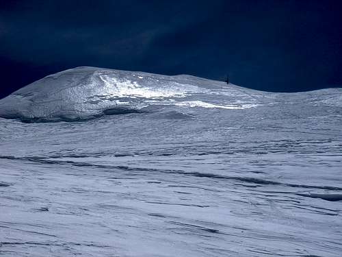
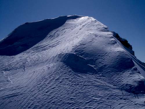
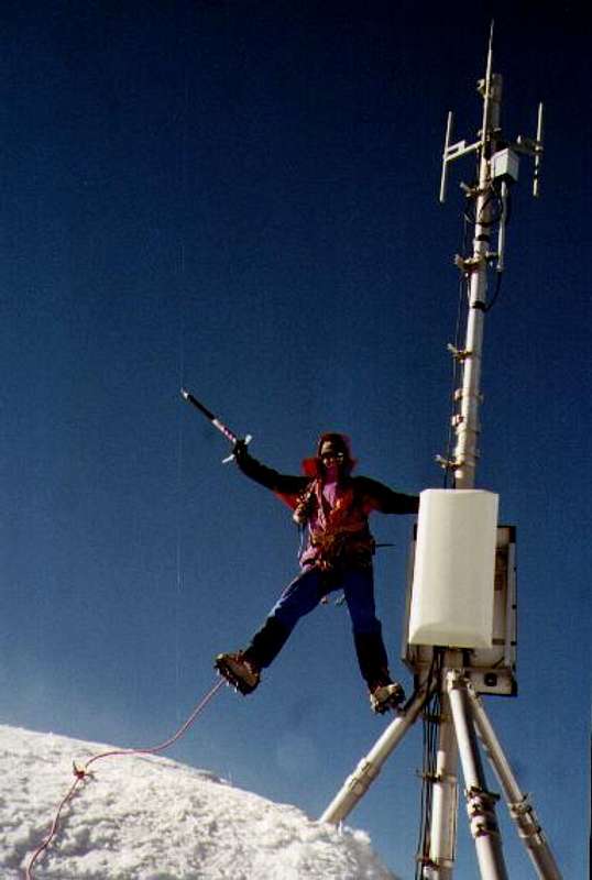
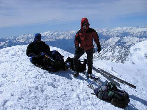
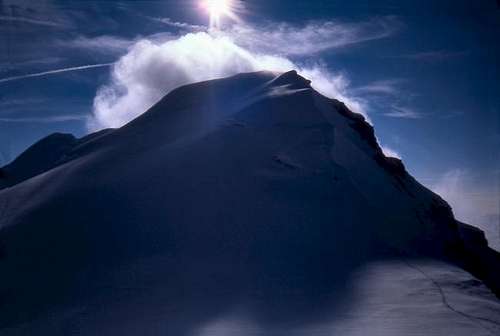
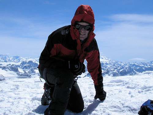
The summit
 |
 |
|
 |
 |
 |
 |
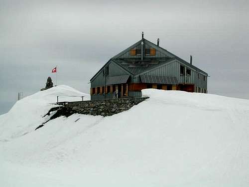
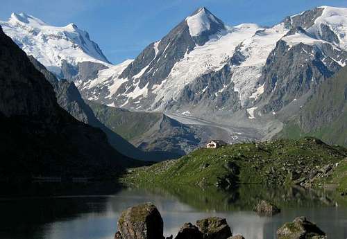
Huts
- Marcel Brunet Hut
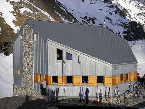
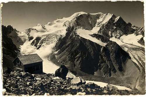
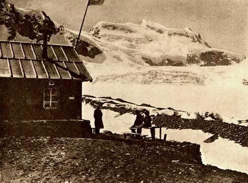
- François-Xavier Bagnoud (Panossière) Hut 100 places
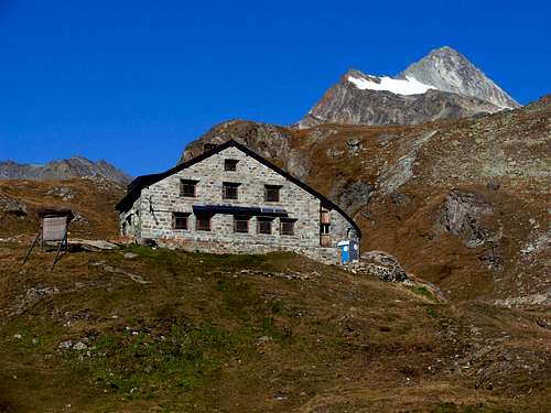
- Valsorey Hut 36 places From Bourg-Saint-Pierre, take the road of the vallon de val Sorey to the alpine pasture of Cordonnaz (park). From here 3h'00 to 4h'00 to the hut.
- Cabane de Chanrion CAS (2.462m) 55 places. Winter location 7.
- Biagio Musso Bivouac (3.664m). 12 places.
 |
 |
 |
 |
 |
Camping
Camping is allowed in the area as long as one does not set up a massive basecamp, and the best part is there is no fee for it.
Camping du Grand-Saint-Bernard
Zip 1946
City Bourg-Saint-Pierre
Phone +41-(0)27-787-1411 (079-370-9822).
Fax +41-(0)27-787-1411
Contact person Vincent Formaz.
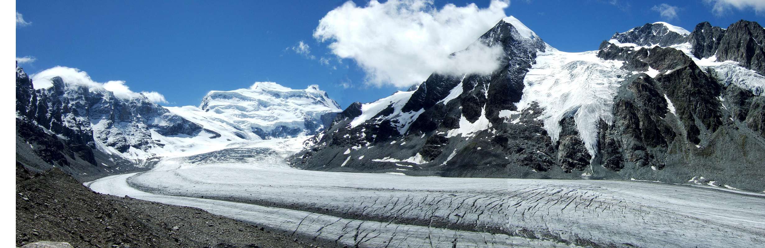
Corbassière Glacier
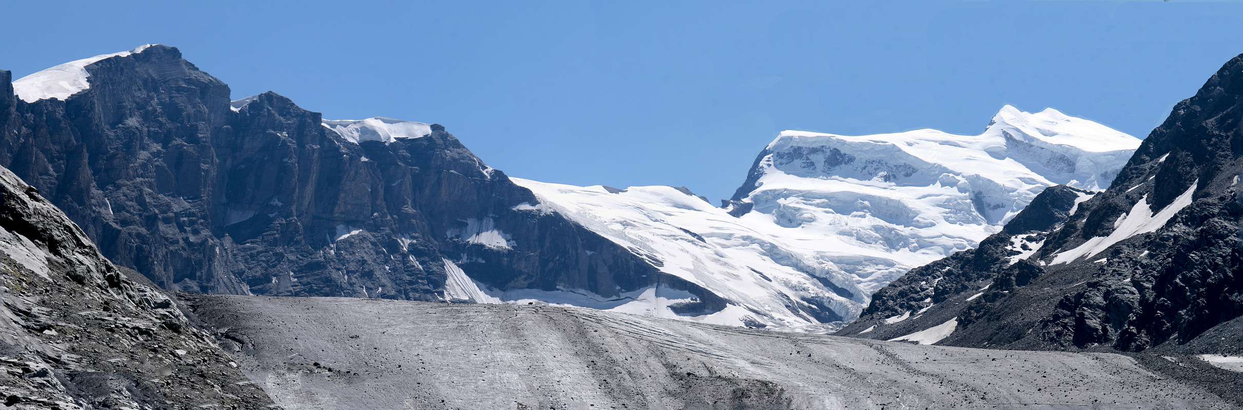
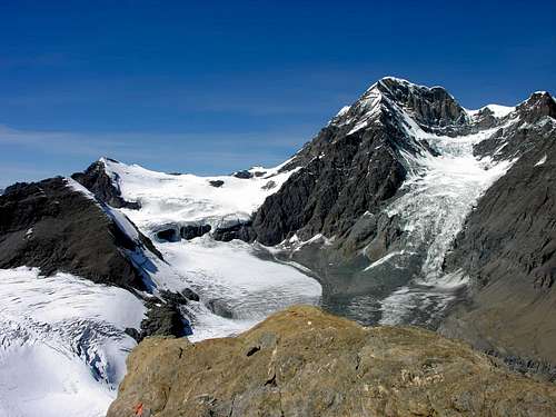
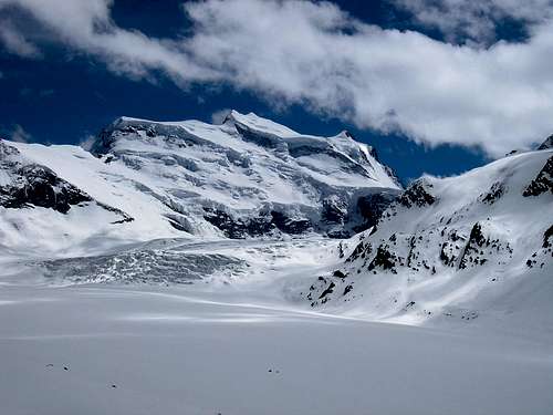
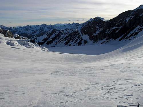
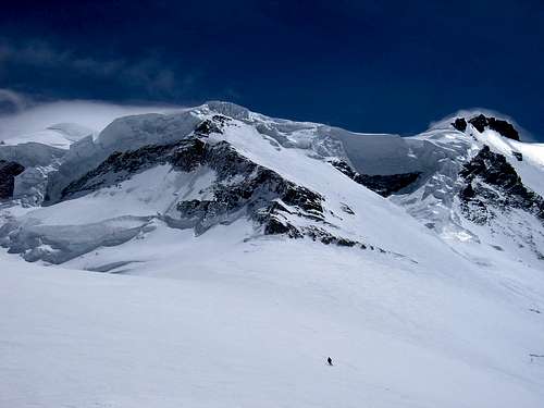
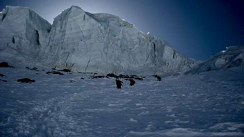
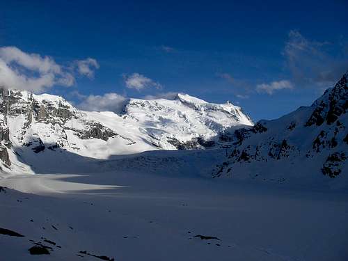
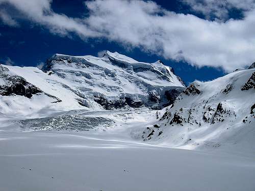
On the NE side of the Grand Combin massif, the huge Corbassière glacier has a surface of 5 km2, is 5 km long. The ice stream spreads from 3.370m to 2.380m.
Sul versante NE del massiccio del Grand Combin, l'enorme ghiacciaio Corbassière ha una superficie di 5 km2, è lungo 5 km. La corrente di ghiaccio si estende da 3.370 m a 2.380 m.
 |
 |
 |
 |
 |
 |
 |
Climbing History
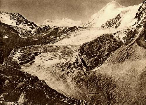
- First ascent through the "corridor": Benjamin and Maurice Felley + Jouvence Bruchez (1857).
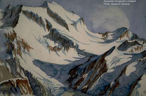
- S-W face: J. H. Isler + Joseph Gillioz (Sep. 16th, ept 1872).
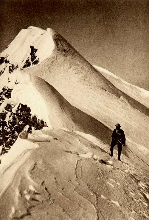
- Meitin ridge: Charles Boisviel + Daniel Balleys + Séraphin Henry (1884).
- N-NE face: E. R. Blanchet + K. Mooser (1933).
- N-W face (Combin de Grafeneire): Henry Bruchez + Hilaire Dumoulin + Louis Maret + René Michaud (Sep. 08th, 1958).
- N-W face of Combin de Valsorey: Egbert Eigher + Erich Vanis (May. 21th, 1958).
- A descent route was equipped in 1983: by Marco Bruchez and Vincent May.
 |
 |
 |
 |
 |
External Links
- Avalanche forcast
This is where you will be able to get regularly updated information on current avalanche dangers. - Grand Combin at www.4000er.de
Images, routes, coordinates and more information about the highest peaks of the Alps - Mountain Guide Adventure - Chamonix Mont-Blanc Mountain Guide - France
A Mountain Guide team will help you to realize your mountain and adventure dreams . A Mountain Guide team in Chamonix propose : mountaineering, alpine rock climbing, ice climbing, heliskiing, ski touring, off piste skiing and expeditions all over the world.
 5 Routes
Garfield - Dec 12, 2005 9:04 am - Hasn't voted
Untitled CommentPhoto
wmconnolley - Sep 6, 2022 6:52 am - Hasn't voted
Aiguille du Croissant 4320 m?You have the height of Aiguille du Croissant as 4320 m, which is wrong; in particular that value is higher than the highest point...
Antonio Giani - Dec 28, 2024 5:22 am - Voted 10/10
Re: Aiguille du Croissant 4320 m?I fixed the error, thanks for reporting it (0: Antonio