Project Overview
Location: Matagorda Peninsula, Texas, USA
Status: Ongoing
Project Partners: University of Houston, Matagorda Bay Foundation and Geoscientists without Borders® (GWB)
Focus Area: Habitat Management and disaster risk reduction
Overview
The Texas coast, which hosts valuable recreational, industrial, and ecological resources, faces significant threats from land loss due to subsidence and erosion. Coastal erosion, particularly on barrier islands like Matagorda, is a pressing issue. These islands serve as the first line of defense against hurricanes, storms, and sea level rise. Understanding how sediment is transported around and across barrier islands is essential for mitigating this erosion. Sediment that moves offshore is often unrecoverable, while sediment accumulating in bays can help nourish islands and support sustainable land growth. Matagorda County, home to 36,225 people have been severely impacted by storms and rapid erosion in recent years. The proposed study will yield significant environmental, economic, and social benefits for the Matagorda Bay region, ultimately enhancing coastal management and resiliency.
Approach
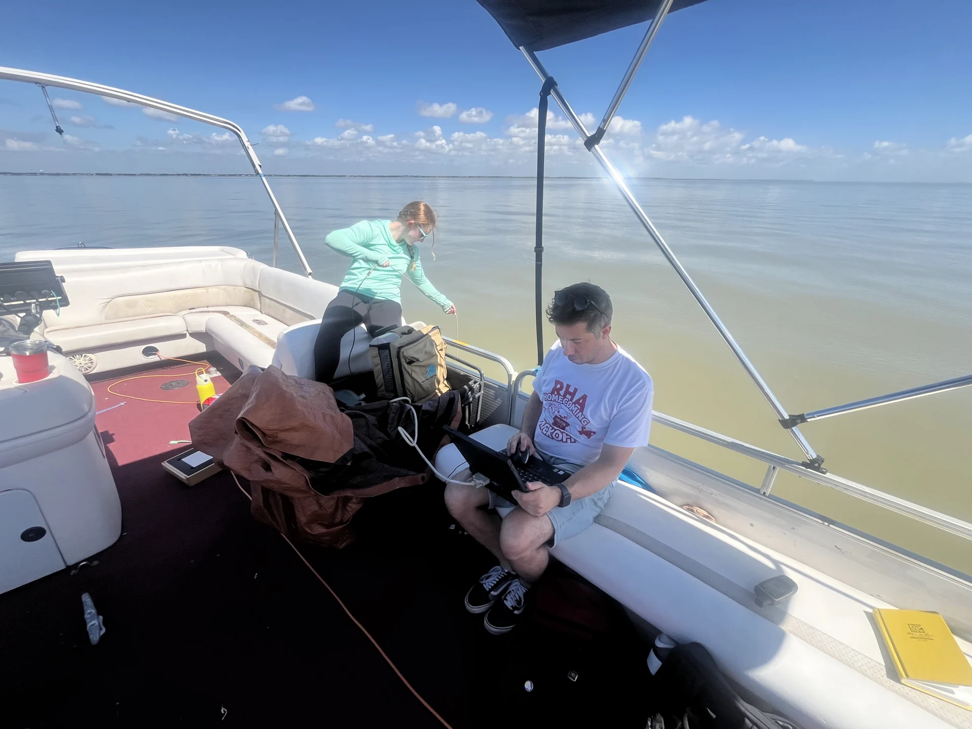
- Extend water sampling and monitoring throughout the bay and on the ocean side of the island to evaluate suspended sediment concentration, salinity, and organic content.
- Use these data to calibrate existing remote sensing data to map the spatial variation in these parameters, elevation, bathymetry, and surface vegetation.
- Acquire frequency-domain electromagnetic data across the barrier to image subsurface variations in salinity, porosity, and clay content.
- Repeat these measurements at different times of the year.
- Integrate and interpret the results to produce a dynamic model for the system.
This study addresses two main objectives:

Investigate factors affecting coastal resiliency, water quality, and habitat stability in the Matagorda Bay estuarine and barrier island environments, using geophysical imaging and moored instruments to monitor water quality
Engage college students, along with local residents, in understanding Matagorda Bay’s sediment and landform dynamics through field trips and active data collection.
This research will fill critical knowledge gaps, guiding climate resilience efforts while fostering local engagement in conservation initiatives.
This study of the Matagorda Bay estuary and barrier island complex will help to address the critical knowledge gaps, ensuring informed responses to climate change, land loss, and ecosystem conservation.
Progress so far:
The team has deployed moored instruments to measure turbidity, currents, and water levels in Matagorda Bay, conducted drone and EM surveys to link surface morphology with subsurface hydrology on Matagorda Peninsula and shared results through student and community field trips and open data platforms. They also organized a field trip for IMAGE 25 attendees to Matagorda Bay in August 2025.
Next Steps
Moorings were launched in Fall 2025 with monitoring through Fall 2026, ensuring a full one year record. Other tasks remain on track.
Learn More

United Nations Sustainable Development Goals (SDGs)


")
")
